|
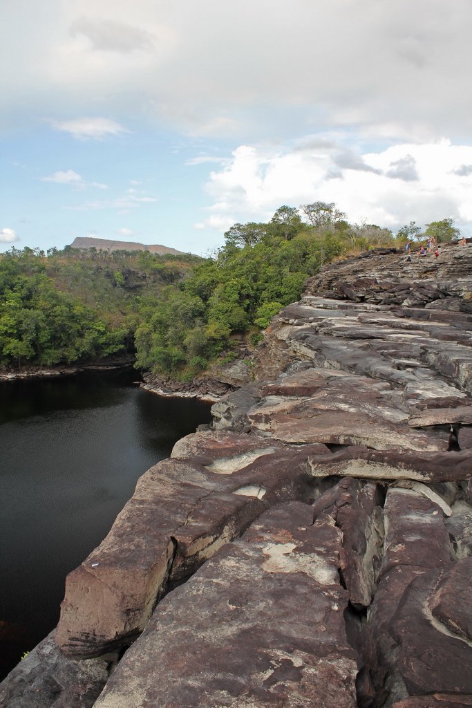 |
| The dry salto El Sapo | |
| Latitude: N 6°15'16,01" | Longitude: W 62°50'18,77" | Altitude: 423 metres | Location: Curatabaca | State/Province: Estado Bolívar | Country: Venezuela | Copyright: Ron Harkink | See map | |
| Total images: 70 | Help | |
|
|
|
| The dry salto El Sapo | |
| Latitude: N 6°15'16,01" | Longitude: W 62°50'18,77" | Altitude: 423 metres | Location: Curatabaca | State/Province: Estado Bolívar | Country: Venezuela | Copyright: Ron Harkink | See map | |
| Total images: 70 | Help | |